As I predicted in last month’s post I have completed the ‘Hamstreet to Ham Street’ route for a third time now. I hiked it with my friend Tom in 2006, cycled it in 2019 (first half - Greensand Ridge) and 2022 (second half), and I’ve completed it again on foot in 2026. Sort of.
The two ‘cheats’ were that I skipped the section where one has to hike on roads between Haslemere (Surrey) and Four Marks (Hampshire) this time, and I stopped at Castle Cary in Somerset, a few miles short of the other ‘Ham Street,’ as will be explained.
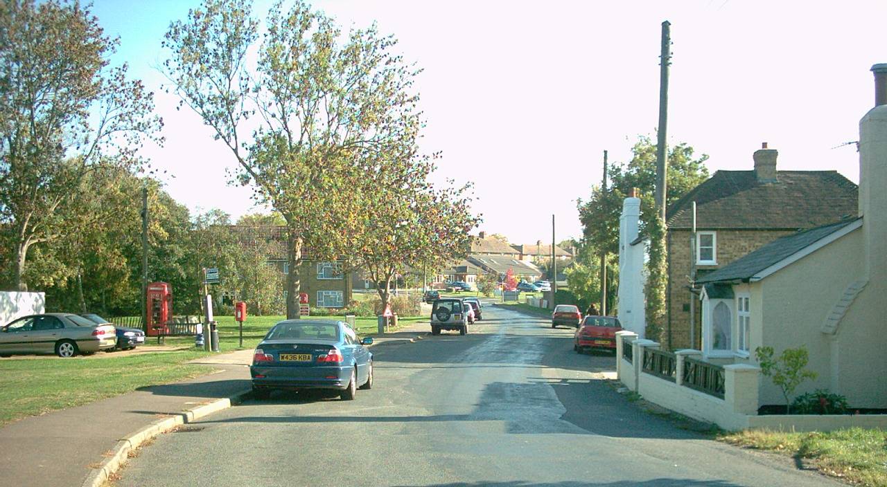
So my first trip of the second half of the route began at the village of Four Marks, a few miles southwest of Alton in Hampshire. I was following a path called the St Swithun’s Way [sic], which runs from Farnham to Winchester, where the remains of St Swithun (or ‘Swithin’ if you prefer) were initially buried outside the abbey so that the rain could fall on him. They were later moved inside by monks. Hence we have the saying that if it rains on St Swithun’s Day (July 15th) it will rain for forty days and forty nights.
The path was very pretty via Ropley (pronounced 'Ropp-ley'), with occasional hoots from the steam trains on the nearby Watercress Line. I stopped for refreshment in a cool barn-like annexe of a pub in Bishop’s Sutton. Then I pounded the tarmac around the south side of New Alresford (pronounced ‘Orlsford’). Here, a new housing development has blocked the path and I had to battle with the weeds up a steep bank to get around the high metal fences.
Signage for the path was also poor beyond this and I made the same navigational mistake that I made with Tom in 2006, ending up about half a mile too far north. This time I was able to contact Hampshire’s rights of way team via their website on my phone and report both issues.
Having rejoined the official route, I continued to Winchester and camped behind some nettles. The next day I followed Nuns Walk into the city and passed the remains of Hyde Abbey which comprise of just the arched entrance to a gatehouse.
My path back out of Winchester was different to last time as the next footpath, the Clarendon Way, has since been diverted to commence by heading southward along the river, before curving west and crossing the Roman road, which was its original course. This adds some distance onto the route but is more pleasant than pounding the tarmac.
The Clarendon Way is named after a ruined palace just outside Salisbury, for it links the two cathedral cities. When I reached the village of Kings Somborne, which was often used a location in the children’s programme ‘Worzel Gummidge,’ I had a rest and necked down a bottle of Coke outside the village shop. A man passing by exclaimed ‘You wanna foind a pub and get some coider’ which was exactly the kind of thing I wanted to hear in the West Country.
It was searing hot as I continued via Houghton (pronounced ‘How-tun’) and Broughton (pronounced as one would expect). The locals in the Greyhound pub were very friendly and I was given a large glass bottle of cool water when I asked if they could fill my water bottle. However, after a few more miles cycling, rain began to spatter as the Clarendon Way joined the Roman road, so I dived into the woodland at the side and got my tent up quick.
The next day was as hot as ever and I merely walked the final ten miles or so into Salisbury, departing from the straight Roman line after the village of Middle Winterslow. With around seven miles to go I kept hearing a flapping sound, later realising that the sole of my shoe was coming off. I tried to attach it with some puncture repair glue that I had in my rucksack, but this was ineffective so I merely looped my lace under my shoe to hold it on. I then had to catch two trains and a bus to get back to my sweltering car at Four Marks.
The second trip involved me continuing from Salisbury, but I wanted to retrace my original route as much as possible so I got a bus up to Winterbourne Dauntsey. A grouchy old man made a sarcastic comment about having to step around my rucksack as I waited for it. Personally I think a few extra steps would have done him good so he should have thanked me!
I backtracked about a mile to Figsbury Ring, a circular Iron Age hill-fort, and I walked an anticlockwise circumnavigation. The views were great.
I then descended back to Winterbourne Dauntsey, where a village fair of some kind seemed to be finishing, to pick up the Monarch’s Way. This footpath roughly follows the route of King Charles II following his defeat at the Battle of Worcester to his escape to France from Shoreham-by-sea in West Sussex.
It was very hot yet again as I crossed Salisbury Plain. I was amazed to see a large framework barn still there after twenty years. Tom and I had considered sleeping among the hay bails in 2006. After a long descent I stopped for refreshment at the pub in Great Wishford, where I was kept entertained with a rock playlist. I then camped in the woods after a significant climb to Cranborne Chase.
The next day my route differed from that of 2006 as I chose to follow the Monarch’s Way properly rather than to take a short cut along the Roman road through the woods. After this more southerly section I was back on the familiar drover's path, which begins as a concrete farm track.
Doglegging southward when the path hits the A303 trunk road, I descended to Fonthill Bishop, which had a nice little café where a pot of tea went down like a snake’s foot (as a friend of mine often says). As I approached the next village (Hindon) I was startled when a large dog ran at me. However, this proved serendipitous when its owners recommended the Grosvenor Arms to me, so I made a beeline. Here, the barman treated me to a free bowl of roast potatoes. The next stage involved quite a gruelling overgrown trek towards West Knoyle, where I had a snack break in the porch of the quaint church. Then came the little town of Mere, where I merely used the shop to stock up on supplies before heading off up towards Zeals Knoll for another night’s camping.
This time, my inappropriate footwear was wearing on my feet rather than the soles of my shoes and the next day was hard work, with blisters and discomfort at the back of my legs from walking funny! It was also searing hot and I passed a woman walking with a donkey as I commenced the day's perambulations. The donkey reminded me of the life of Christ, as did my breakfast of bread and tinned fish which I ate in a shelter at the National Trust's centre at Stourton / Stourhead as a man tested disability buggies and parked them outside ready for the use of visitors.
After a stone archway, a look at an old pumphouse and a glimpse of a lake and a Greek-inspired building (pictured), I picked up the Macmillan Way (named after the cancer care charity for whom it was devised) and headed for the little town of Bruton. A man in a gardening community at the hamlet of Redlynch pointed me in the right direction when I got lost and filled my water bottle. After a panoramic view across to Glastonbury Tor and a brief look at a dovecote which resembled a ruined church tower on a hill, I dived into Bruton's Sun Inn to cool off - literally going in the Sun to get out the sun. The pub still retains a separate public bar and saloon bar, which is a nostalgic throwback to the 1970s. I had a chicken kebab from the separate cooking area at the back of the pub and then continued towards Castle Cary, cutting off a long S-shape in the official path by nipping down a farm track.
However, the heat got to too much, and heeding the advice of the gambling adverts on TV, when the fun stopped, I stopped! I dived into the woodland and got some of my camping gear out, proceeding to snooze for a few hours. As it grew dusky I decided to add a tent into the equation!
The following day involved a short two-mile trek to Castle Cary station, with a fine glimpse of Glastonbury Tor in the distance as I descended from Ansford. I decided not to continue Ham Street in Somerset for the simple fact that there’s nothing there! Essentially, I felt that I had completed the walk and I began my five-train journey home to the Las Vegas-like 'Hamstreet' in Kent. Indeed, the inspiration for the initial walk in 2006 was simply to hike to the other village of the same name as the one where Tom and I lived.
My conclusion to this 20-year anniversary jaunt is that very little has changed. Even the development on the south side of Ashford, Kent has had relatively little impact on the rural feel of the footpath route, and the only other areas of new development I encountered were the annoying one on the south side of New Alresford and a modern 'village' development on the north side of Salisbury. What has changed is some of the text in my book of the initial walk, ‘Mud,Sweat and Beers.’ I’ve added some additional info about the places that I’ve gleaned on my two subsequent re-visits so if you wish to buy the book a third time the latest version (still called the ‘2022 Reload’ edition) can be ordered on that website named after a South American river!
Will I walk it again for the ‘ruby anniversary’ in the 45-degree heat of 2046? Who knows!